011 : 5 000 000·Kingdom
From the Kingdom to the millimetre.
We deploy survey teams to all 13 regions of Saudi Arabia.
- Riyadh
- Makkah
- Madinah
- Eastern Province
- Qassim
- Asir
- Tabuk
- Hail
- Northern Borders
- Jazan
- Najran
- Al Bahah
- Al Jawf
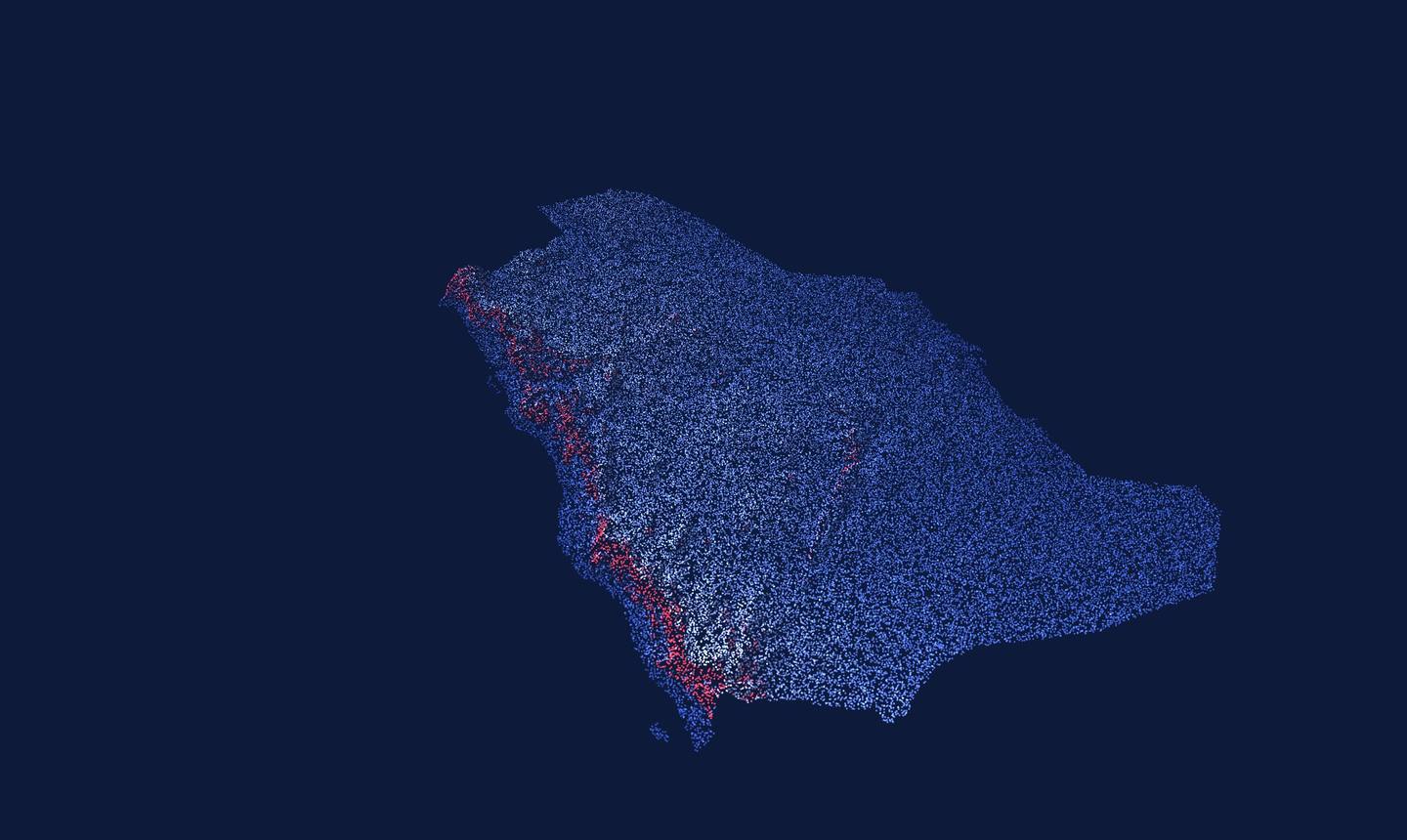
A point-cloud view that descends from the whole Kingdom to a survey mark at our Riyadh headquarters. Scroll inside it, drag, use the arrow keys or pick a scale on the ladder. At either end, the page scrolls on. Kingdom and region views use real elevation data; the site, structure and detail scenes are illustrative.
We deploy survey teams to all 13 regions of Saudi Arabia.
Who we are
Areen Geomatics is a Saudi establishment based in Riyadh, delivering professional land surveying across the Kingdom for more than ten years — consistent, accurate and on time.
| STN | READING | REMARK | CHK |
|---|---|---|---|
| 01 | 10+ | Years surveying across the Kingdom | |
| 02 | 04 | Capture methods · scan, GNSS, total station, levelling | |
| 03 | 13 | Regions we mobilise teams to | |
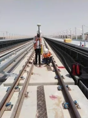
| 04 | 74 km | Rail marked for Alstom · SLV | |
| 05 | 09 | Leica & Trimble instruments |
What we deliver

Services
From the first boundary check to the as-built model at handover — one team, one QA process.
Parcel definition, boundary marking and government point checks.
Detailed terrain and feature mapping for design and planning.
Layout and marking of works to design coordinates.
A measured record of what was actually built, for handover and BIM.
Establishing and verifying geodetic control networks.
3D laser scanning to point cloud and Revit / BIM models.
Spatial data, mapping and geographic information services.
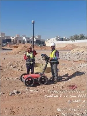
Ground penetrating radar to locate and map buried utilities.
Vision 2030

Every giga-project, metro line and restored landmark starts with accurate survey data. The General Authority for Survey and Geospatial Information (GEOSA) frames geospatial information as an enabler of Vision 2030 in its National Geospatial Strategy, anchored in the UN Integrated Geospatial Information Framework.
Three pillars: a vibrant society, a thriving economy, an ambitious nation.
King Salman Park, Sports Boulevard, Green Riyadh and Riyadh Art, complementing the Quality of Life Program.
Our crews are measuring metro, heritage, destination and green-infrastructure sites.
Green Riyadh targets 7.5 million trees and green cover rising from 1.5% to 9.1% of the city.
For the built environment, that means heritage restored with care and cultural places people can use — work that starts with an exact record of what already stands.
Our part
Metro lines, airports and destinations move people and investment. Each is set out, marked and verified to design coordinates before it opens.
Our part
An effective state plans on reliable data: control networks, utility maps and digital models that agencies and owners can build on with confidence.
Our part
Areen Geomatics is a private company. References to Saudi Vision 2030 and its programs describe how our work aligns with the national vision; they do not imply official endorsement.
Sources · vision2030.gov.sa · geosa.gov.sa · rcrc.gov.sa
Featured projects
Heritage, rail and destination work for government bodies, operators and contractors across the Kingdom.
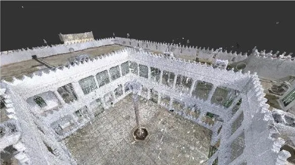
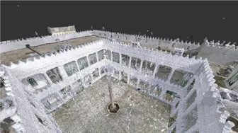
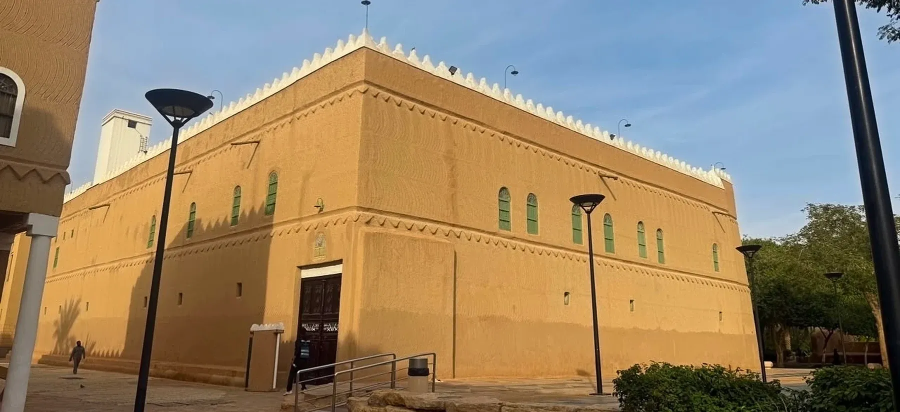
2,800 m² historic palace · LOD 500 Revit model
Point cloud to 3D Revit model · Leica RTC360
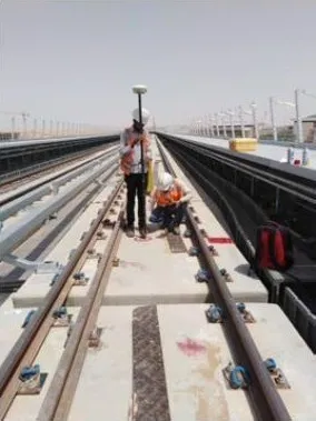
Axle counters, beacons and point machines on the SLV
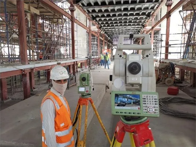
28 stations across Lines 4, 5 & 6
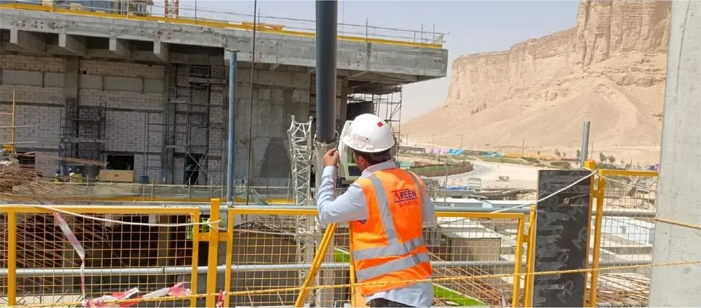
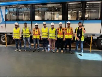
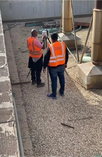
As-built verification, installation checks, core marking
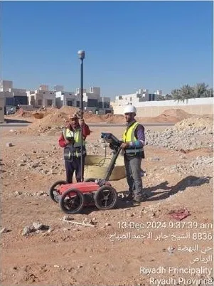
Underground utility detection for the Green Riyadh program
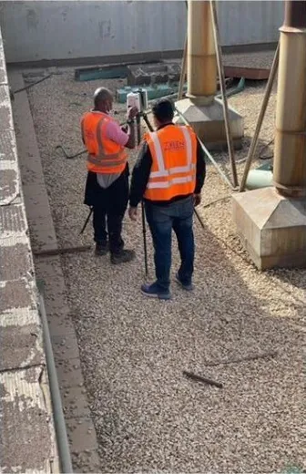
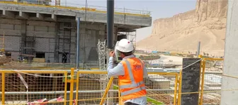
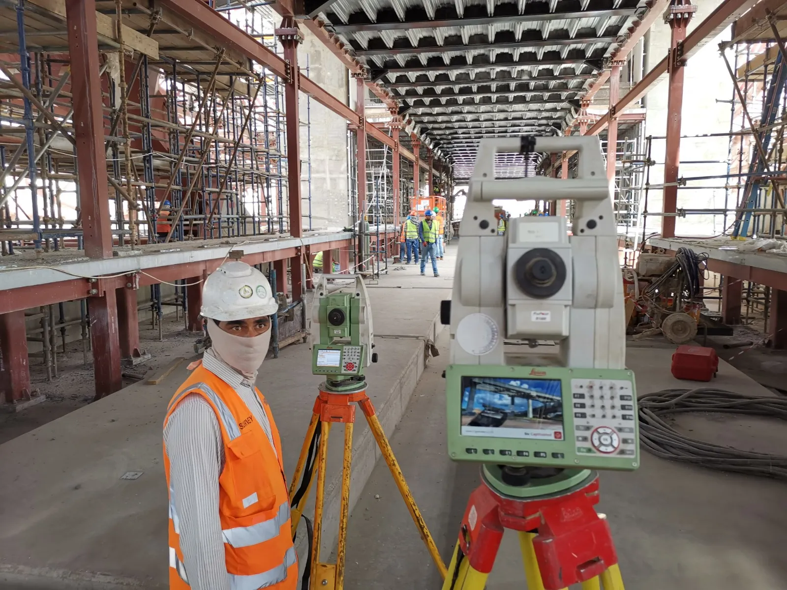 TOTAL STATIONLeica · in the field
Technology
Leica and Trimble scanners, GNSS receivers, total stations and digital levels — matched to the tolerance your project needs.
Leica · Trimble
RTC360 · X12
Leica · Trimble
GS14 · R10
Leica
TS15 · TS12 · TS06 plus
Leica
DNA10 · NA720
Clients & partners
Government bodies, international rail groups and Saudi developers build on our data.




























FAQ
Anything else — send us a message and a surveyor replies within one working day.
All 13 regions. Our teams mobilise from our base in Riyadh to any site in the Kingdom.
It depends on the scope: CAD drawings, coordinate schedules and survey reports, registered point clouds, 3D and Revit models, and GIS-ready data.
Leica RTC360 and Trimble X12 laser scanners; Leica GS14 and Trimble R10 GNSS receivers; Leica TS15, TS12 and TS06 plus total stations; and Leica DNA10 and NA720 levels.
Yes. Areen Geomatics is certified to ISO 45001 for occupational health and safety management.
Geomatics is the discipline of capturing, processing and delivering spatial data. Land surveying is its field-measurement core: boundaries, levels, setting out and control. Geomatics adds 3D laser scanning, GNSS positioning, GIS and BIM modelling, so the measurements arrive as drawings, point clouds, models and databases your designers and contractors can use directly.
Five things drive the price: the size of the site and how easy it is to access, the accuracy and level of detail you need, the deliverables (CAD drawings, a registered point cloud, a Revit model), the distance our crew travels, and your timeline. Send us the scope and we return a fixed quotation.
The site location and its limits, any existing drawings or design coordinates, the deliverables and accuracy you expect, access permits and site safety requirements, and the date you need the results. With those we plan the control, the crew and the instruments before we mobilise.
LOD stands for Level of Development: how much geometry and reliable information each element of a BIM model carries. LOD 100 is a conceptual mass, LOD 300 is accurate enough for design coordination, and LOD 500 is a verified as-built record. We model in Revit from our own laser scans, up to LOD 500.
Choose laser scanning when you need a complete record of what exists: heritage buildings, renovations, dense services and as-built verification. A scanner captures millions of points in minutes, so nothing has to be re-measured later. For boundaries, setting out and control networks, a total station or GNSS receiver is the faster and more precise tool.
Send us the site location, the scope and your timeline — through the contact form or on WhatsApp. A surveyor replies within one working day.
Start here
Tell us where and what you need measured. A surveyor — not a sales desk — replies within one working day.
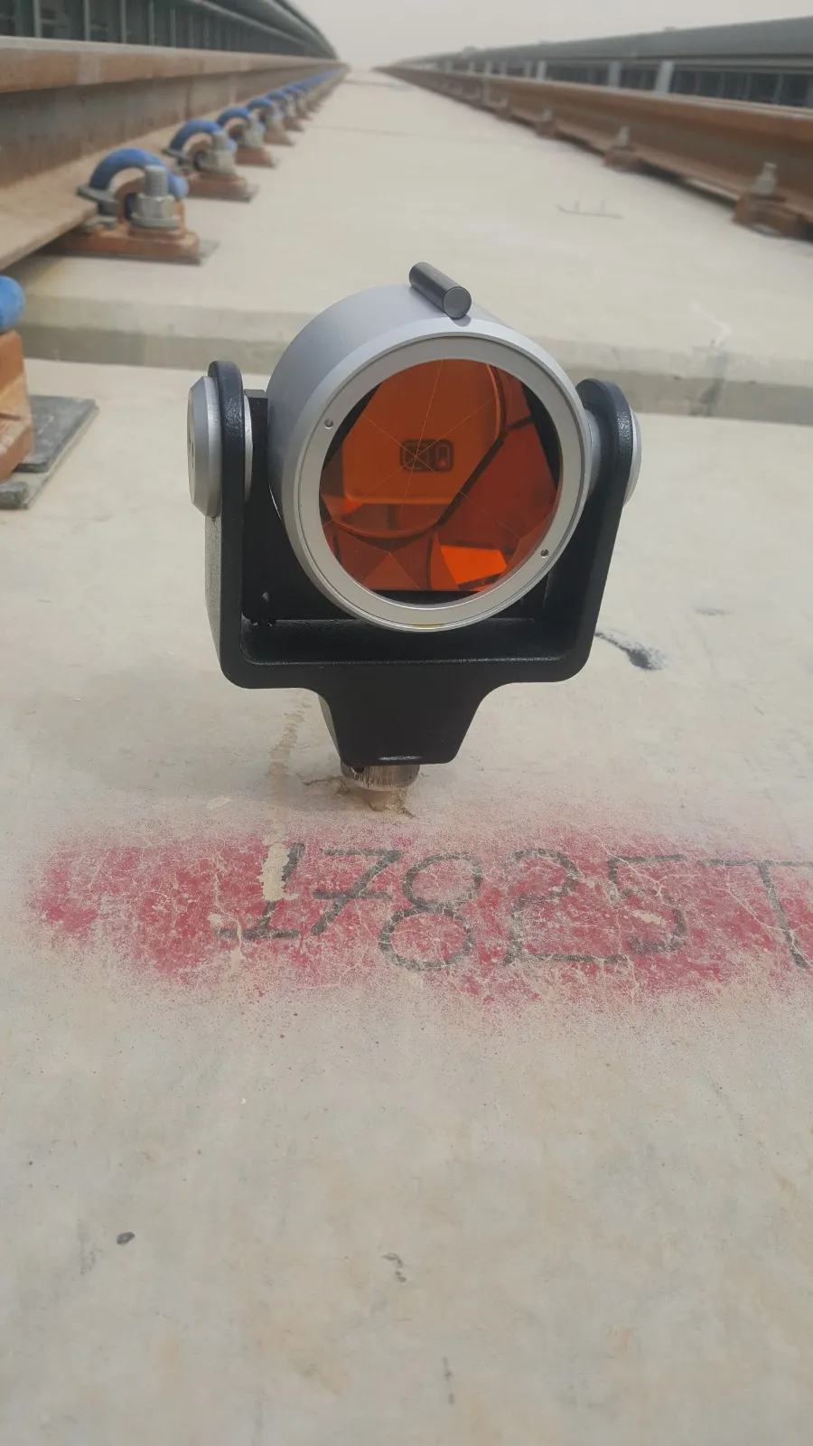 Field mark 17825