Leica Geosystems
RTC360
Used at MOC — Erqa Hospital
051 : 1Detail
Advanced geomatics instruments and software across four capture methods — matched to the job, operated and checked by our own surveyors.
Coordinates: N 24°41′ · E 46°43′
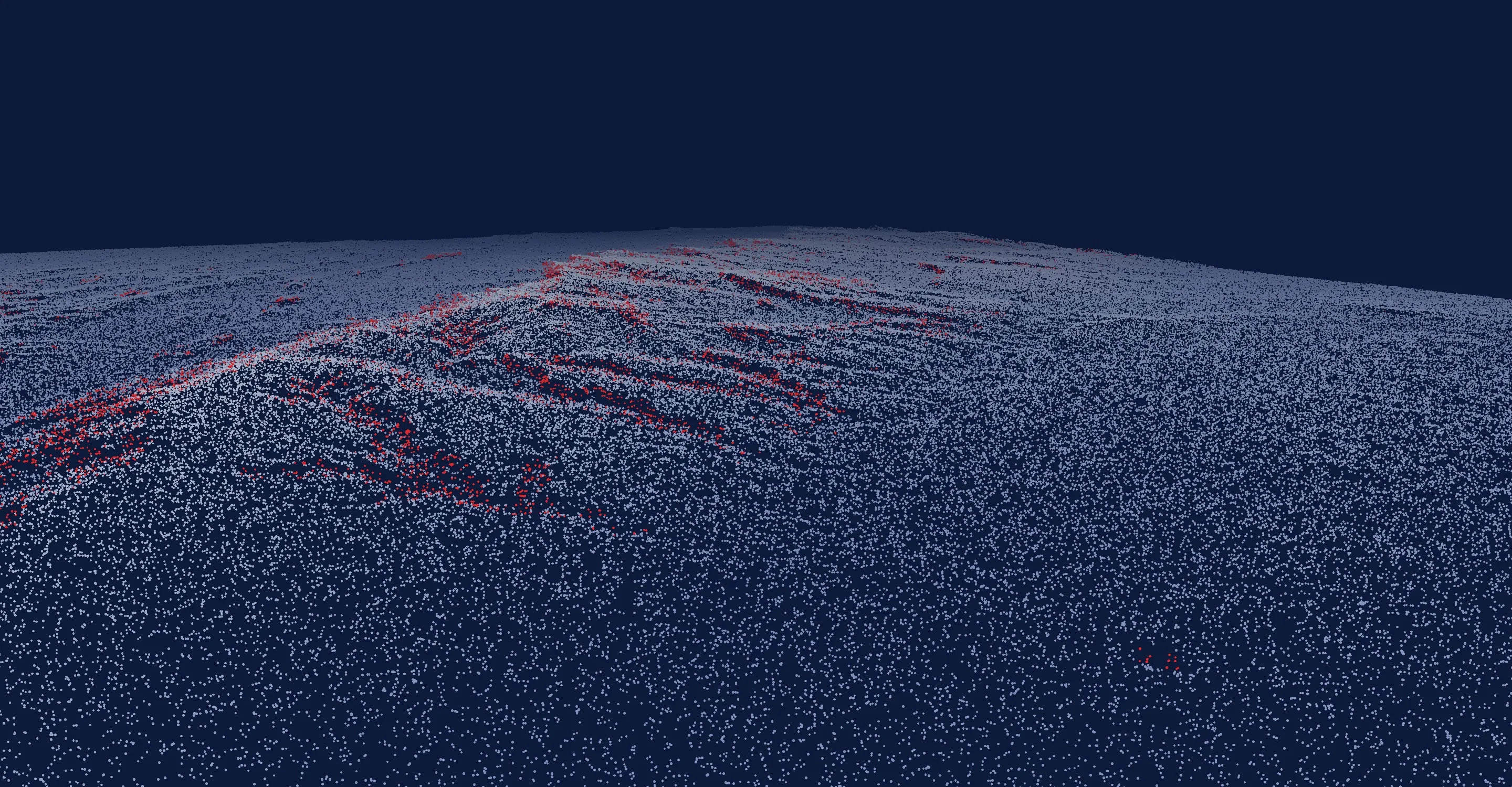
Point cloud · Leica RTC360
We turn places into precise data
Millions of measured points become a 3D model designers can build on — this is MOC Erqa Hospital, captured for its heritage renovation.
01 / 04 · Reality capture
Scanners record millions of measured points in minutes — whole façades, plant rooms and heritage courtyards — ready for point clouds, plans, sections and Revit models.
Instruments in the fleet
Leica Geosystems
Used at MOC — Erqa Hospital
Trimble
Used at Almurabba Palace
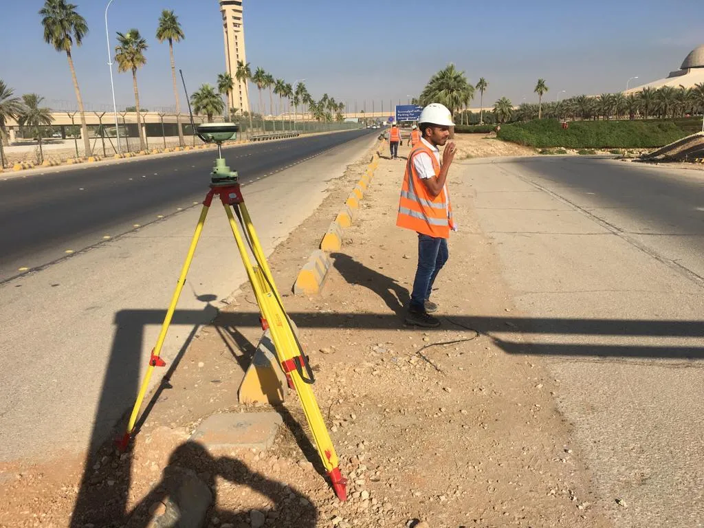
02 / 04 · Positioning & control
Satellite receivers fix control points and boundaries in the national coordinate frame — fast on open sites, from desert plots to airport roads.
Instruments in the fleet
Leica Geosystems
RTK positioning & control
Trimble
RTK positioning & control
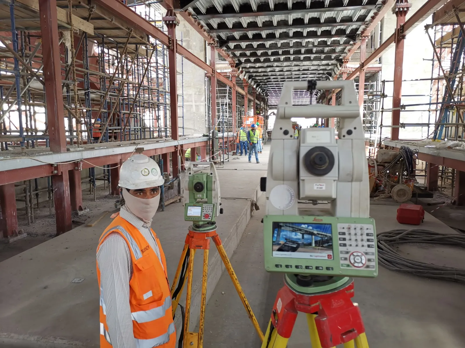
03 / 04 · Layout & as-built
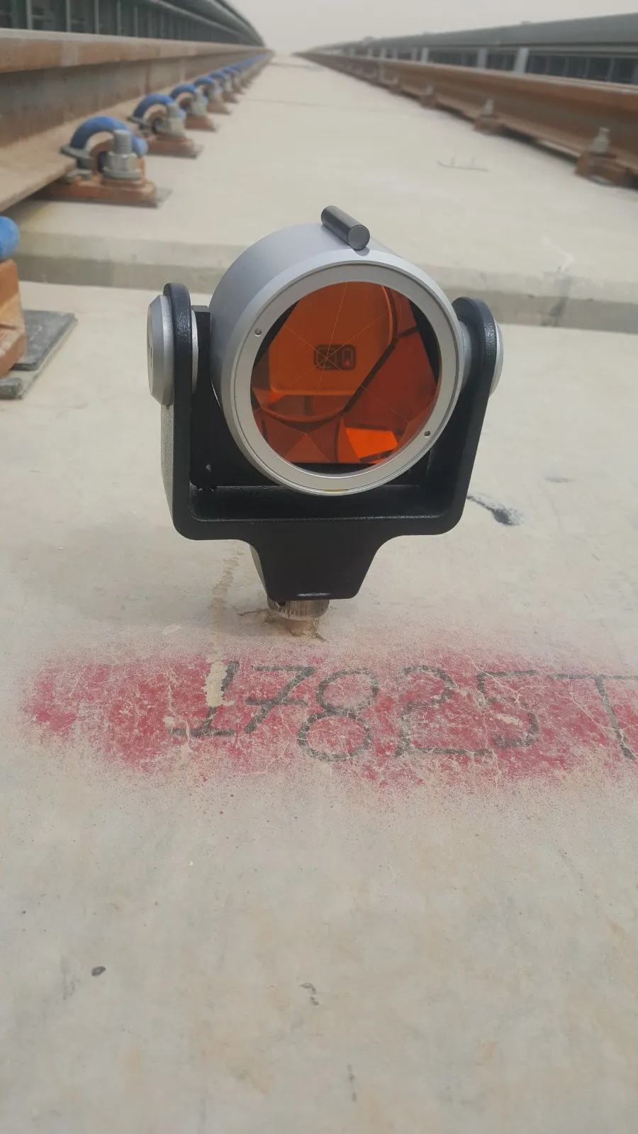
Robotic and manual total stations set out and check works to millimetres — the workhorses behind our metro, depot and building projects.
Instruments in the fleet
Leica Geosystems
Layout & as-built
Leica Geosystems
Layout & as-built
Leica Geosystems
Layout & checks
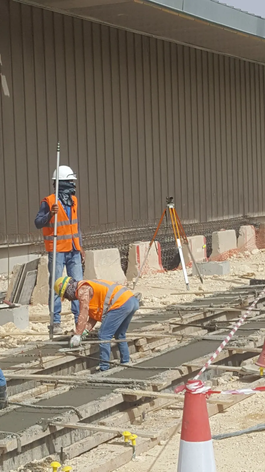
04 / 04 · Precise heights
Digital and automatic levels carry precise heights across a site — benchmarks, slabs, track and structural monitoring.
Instruments in the fleet
Leica Geosystems
Precise height levelling
Leica Geosystems
Height transfer & checks
Start here
Tell us where and what you need measured. A surveyor — not a sales desk — replies within one working day.
 Field mark 17825