031 : 5 000Site
Eight survey disciplines, one accountable team
From the first control point to the final as-built model. Pick a discipline — or tell us the problem and we will recommend the method.
Coordinates: N 24°41′ · E 46°43′
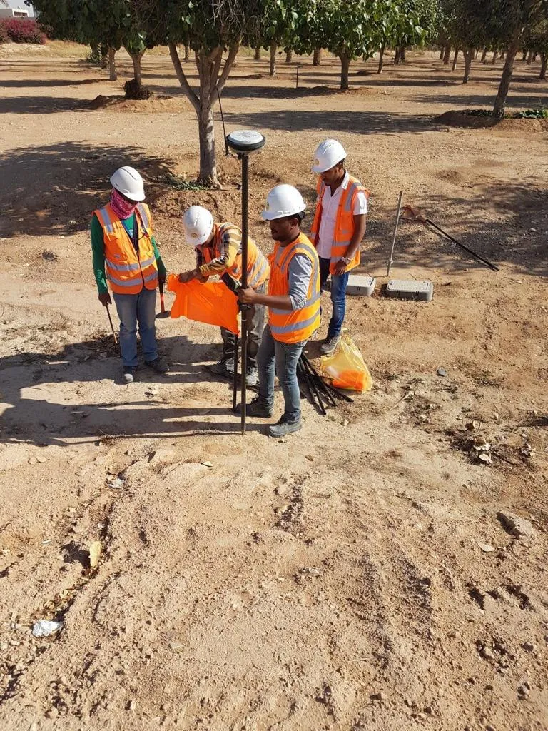 GNSS control · Riyadh
01 / 08
Boundary (Cadastral) Surveys
We define and mark parcel boundaries, check government reference points and prepare the survey records that owners, developers and authorities rely on.
You receive
- Boundary coordinates
- Corner marks set on site
- Survey drawing & report
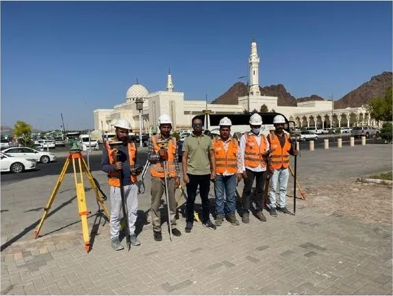 Saeed Al-Shuhada Square · Madinah
02 / 08
Topographic Surveys
Detailed terrain and feature mapping — levels, structures, utilities and landscape — captured to the accuracy your designers need before the first line is drawn.
You receive
- Topographic drawing (CAD)
- Spot levels & contours
- Feature & utility inventory
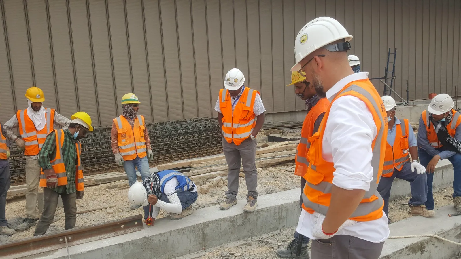 Ultimate Phase Depot · Riyadh Metro
03 / 08
Construction (Setting Out) Surveys
Layout and marking of works to design coordinates — foundations, anchor bolts, grids and track — checked before concrete is poured, not after.
You receive
- Setting-out marks
- Check-survey records
- Daily site support
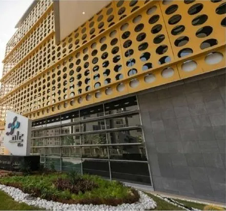 ELM HQ · Riyadh
04 / 08
As-Built Surveys
A measured record of what was actually built — structure, architecture and MEP — for handover, verification and BIM.
You receive
- As-built drawings
- Deviation reports
- Revit / BIM updates
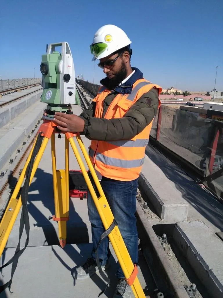 Total station · Metro viaduct
05 / 08
Control Surveys
Establishing and verifying the geodetic control networks every other measurement depends on — and monitoring them as the site changes.
You receive
- Control point network
- Coordinate & level schedules
- Monitoring reports
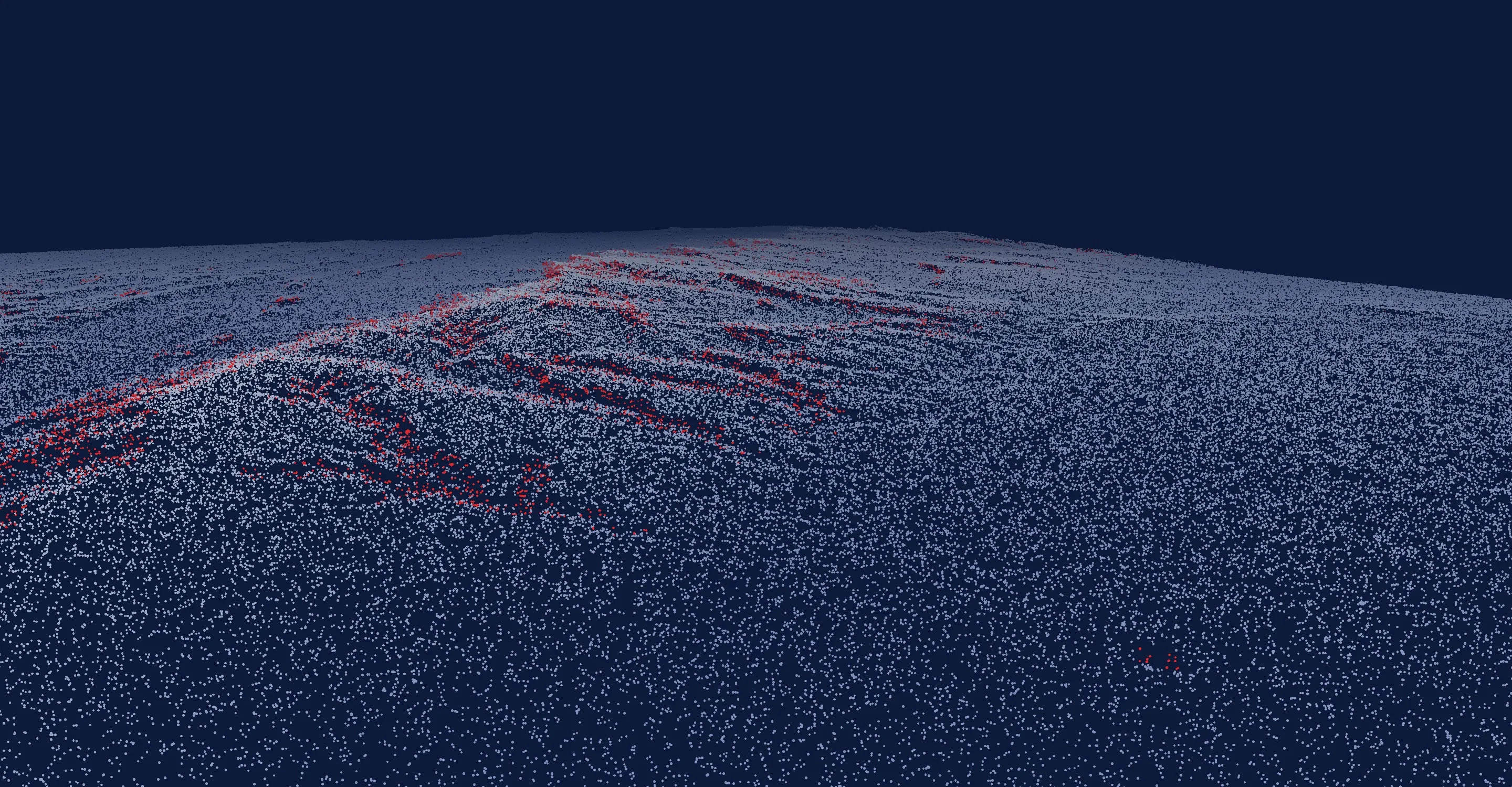
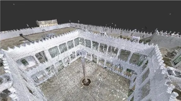 Point cloud · Trimble X12
06 / 08
Scan to BIM
3D laser scanning turns a building into millions of measured points, then into a Revit model designers can build on — ideal for heritage and renovation.
You receive
- Registered point cloud
- 3D / Revit model up to LOD 500
- Plans & sections
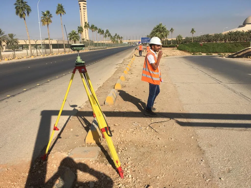 GNSS · Airport Road, Riyadh
07 / 08
GIS Applications
Spatial data, mapping and geographic information services that organise survey results so planners and asset owners can query them.
You receive
- GIS datasets
- Thematic maps
- Spatial data clean-up
 Green Riyadh · East Riyadh
08 / 08
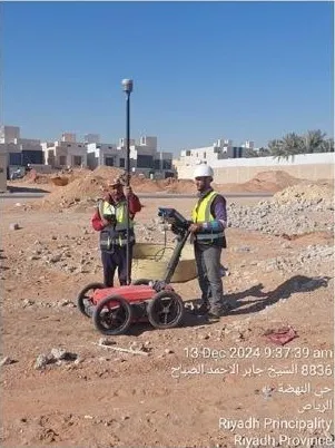
GPR Utility Detection
Ground penetrating radar locates and maps buried utilities before excavation — fewer strikes, fewer surprises.
You receive
- Utility location plan
- Marked services on site
- Depth estimates
Start here
Have a site that needs measuring?
Tell us where and what you need measured. A surveyor — not a sales desk — replies within one working day.
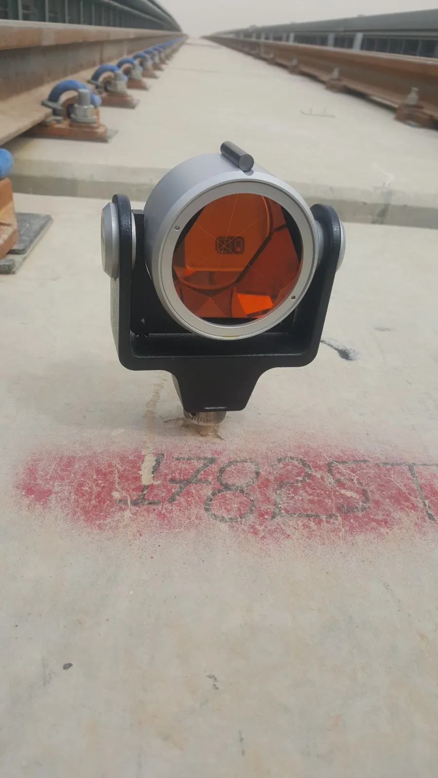 Field mark 17825